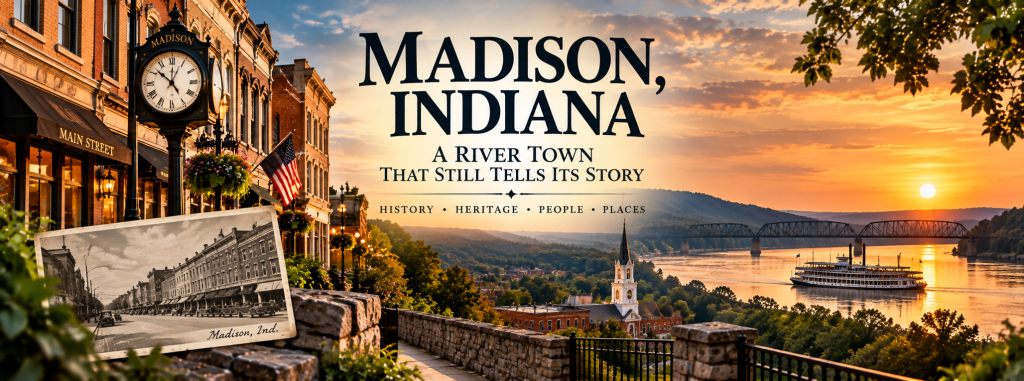
There are towns you drive through.
And then there are towns that make you wonder what happened there before you arrived.
Madison, Indiana is one of those places.
Sitting along the Ohio River in southeastern Indiana, Madison can seem almost out of place the first time you see it.
Block after block of historic buildings line the streets. Old storefronts stand beneath upper floors built generations ago. Church steeples rise above neighborhoods filled with homes from another century.
And at the edge of town, the Ohio River keeps moving past—just as it did when Madison was one of Indiana’s most important gateways to the outside world.
Today, Madison is known for its architecture, riverfront and historic downtown.
But those beautiful old buildings are only part of the story.
Because there was a time when Madison wasn’t simply a picturesque town along the river.
It was one of the most important places in Indiana.
And the reason it became that way begins with the river.
Before the Highways, There Was the River
Long before interstate highways connected Indiana to the rest of the country, the Ohio River was one of the region’s great transportation routes.
And Madison sat right beside it.
The town traces its beginnings to 1809, and its original town plat was laid out in 1810—six years before Indiana became a state.
Its location along a bend in the Ohio River gave Madison something many inland communities didn’t have: direct access to a transportation network stretching far beyond Indiana.
Steamboat traffic helped Madison grow rapidly. By the 1830s, wharves lined the riverfront and goods, livestock and agricultural products moved through the city.
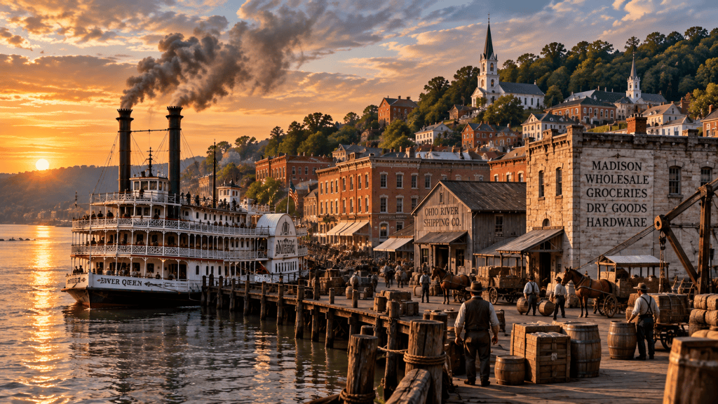
Madison became an important link between the Ohio River and Indiana’s developing interior.
Warehouses, businesses, workshops and homes appeared as the community expanded.
But the river wasn’t Madison’s only advantage.
Indiana wanted something that could carry the river’s commerce farther into the state’s interior.
So it turned toward a technology that was beginning to transform America.
The railroad.
And building one out of Madison would require overcoming a problem that was literally standing in the way.
The hills.
The Railroad That Had to Climb a Hill
In 1836, Indiana began construction of the Madison and Indianapolis Railroad—the state’s first railroad.
The idea was ambitious: connect the Ohio River at Madison with Indianapolis and the growing settlements of central Indiana.
But immediately north of Madison, the land rises sharply from the river valley.
Engineers responded by cutting an extraordinary railroad route directly up the hillside.
It became known as the Madison Incline.
The track climbed roughly 400 feet along a straight incline about 7,000 feet long, with a grade of approximately 5.9 percent—an exceptionally steep climb for a conventional railroad.
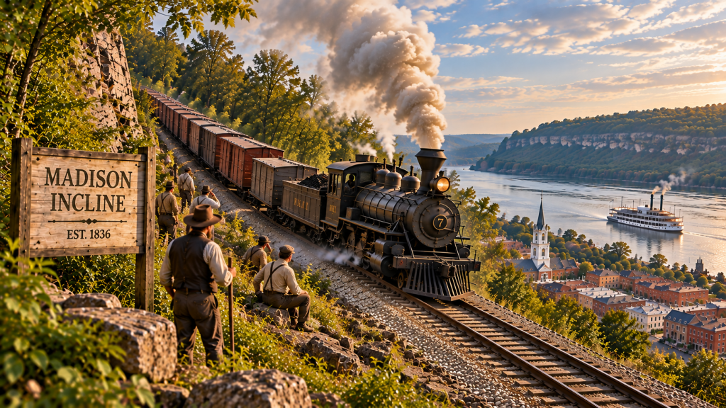
Early locomotives couldn’t manage the hill on their own. For years, teams of horses helped move trains up the grade.
Later, more powerful locomotives made the climb possible.
The railroad ultimately connected Madison with Indianapolis, allowing goods from Indiana’s interior to reach the Ohio River and markets beyond.
Madison now had the river.
It had the railroad.
It had industry, commerce and a growing population.
During the middle of the 19th century, the city entered what local historians describe as its Golden Age, when its commercial importance rivaled other Indiana communities.
For a moment, Madison appeared positioned for an enormous future.
But transportation was changing again.
And the routes that had helped build the town were beginning to lead somewhere else.
When the Traffic Moved On
Madison had grown because transportation came directly to its doorstep.
But transportation doesn’t stand still.
Railroad networks expanded across Indiana and the Midwest, creating competing routes that didn’t depend upon Madison’s riverfront.
The city’s geography also presented a problem.
The same hills that produced the remarkable Madison Incline made railroad operations difficult and expensive.
As new transportation networks developed elsewhere, Madison no longer occupied the same strategic position it had enjoyed during its early growth.
The city didn’t disappear.
Factories continued operating. Businesses remained downtown. Families continued living in homes built generations earlier.
But Madison never experienced the explosive expansion that transformed some other Midwestern cities.
And that produced an unexpected consequence.
Buildings that might have been demolished and replaced elsewhere remained standing.
Federal-style homes, Greek Revival buildings, Italianate storefronts, churches, industrial buildings and working-class houses survived across an unusually large portion of the city.
Even pieces of Madison’s 19th-century infrastructure—roads, retaining walls, curbs, bridges and other features—remained part of the landscape.
What once could have looked like a town being passed by eventually became something remarkably valuable.
Madison had preserved an enormous piece of its past.
The Town That Became a Time Capsule
Walk through downtown Madison today and you’re surrounded by evidence of the city that once expected an even bigger future.
The past isn’t confined to a single museum or historic house.
It’s everywhere.
Entire streets contain buildings from the 19th century. Brick storefronts still face sidewalks where merchants once conducted business tied to the river. Churches, factories, warehouses and homes remain woven into the modern city.
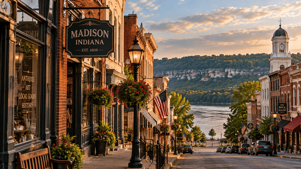
Eventually, people began recognizing just how unusual that survival was.
In 2006, the Madison Historic District was designated a National Historic Landmark, recognizing the national significance of its remarkably intact collection of historic buildings and landscapes.
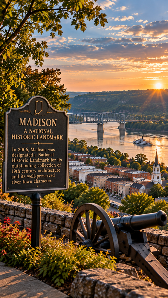
And some individual buildings tell remarkable stories of their own.
There’s Lanier Mansion, completed in 1844 for James F. D. Lanier, whose work in banking and railroad development made him an important figure in Indiana’s early economy.
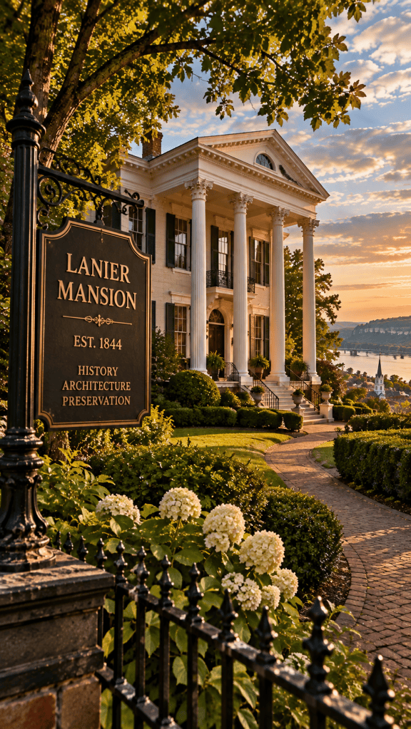
Completed in 1844 for James F. D. Lanier, the Lanier Mansion remains one of Madison’s most recognizable links to its prosperous 19th-century past.
Designed by architect Francis Costigan, the mansion is considered an outstanding example of Greek Revival architecture.
There’s the Charles L. Shrewsbury House, another Costigan design, famous in part for its extraordinary freestanding spiral staircase.
Historic commercial buildings still stand downtown.
Old homes remain along streets laid out generations ago.
And beneath all of it is the landscape that shaped Madison from the beginning—the hills behind the city and the Ohio River flowing along its southern edge.
But some of Madison’s most important history isn’t immediately visible from the sidewalk.
Because the same river that carried merchandise and opportunity into Madison also formed a boundary between slavery and freedom.
Across the River Was Another World
Before the Civil War, Kentucky—directly across the Ohio River from Madison—permitted slavery.
Indiana did not.
For freedom seekers escaping enslavement, crossing the Ohio River into Indiana could therefore represent an important step toward freedom.
But reaching the northern bank did not mean the danger was over.
Federal fugitive-slave laws allowed freedom seekers to be pursued and captured even in free states.
Despite those dangers, Madison became part of the network of people and routes now known as the Underground Railroad.
One particularly important part of that history survives in Madison’s Georgetown neighborhood.
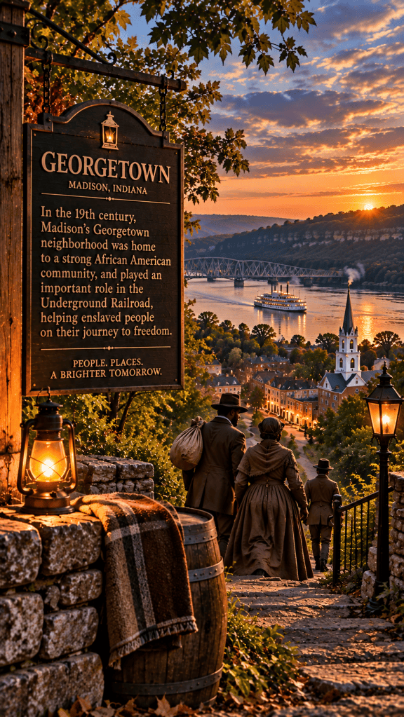
African Americans were living there by the 1830s, and the community developed connections to Underground Railroad activity.
Madison and the surrounding area also contained documented sites associated with people aiding freedom seekers. Routes north from Madison could connect with other paths leading farther into Indiana.
These weren’t stories of secret tunnels stretching beneath an entire city.
They were stories of real people making dangerous decisions in a country deeply divided over slavery.
And Madison’s preserved neighborhoods allow part of that world to remain visible.
The same river that carried steamboats, merchandise and wealth into Madison could represent something entirely different to someone arriving secretly from the Kentucky shore.
The possibility of freedom.
But Madison’s history wasn’t shaped only by what happened along the river.
Behind the city, another landscape tells its own story.
Beyond the Streets, the Land Tells a Story Too
Madison’s history makes more sense when you see the landscape surrounding it.
The Ohio River runs along one side of the city.
Steep hills rise behind it.
And just outside town, streams have carved deep ravines through ancient layers of limestone and shale.
Today, much of that landscape is protected within Clifty Falls State Park.
Established in 1920, the park protects Clifty Creek’s rugged canyon, waterfalls and surrounding forest.
But hidden among the trails are remnants of another chapter in Madison’s railroad story.
The Madison Incline worked—but its steep grade remained difficult and costly.
In the 1850s, railroad president John Brough attempted to build an alternative route through Clifty Canyon.
Hundreds of workers carved grades, built stone structures and excavated tunnels through the rugged terrain.
The project failed.
Funding ran short, the railroad venture went bankrupt, and the proposed route was abandoned.
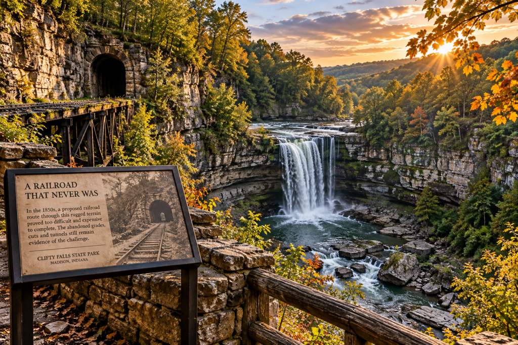
The rugged landscape of Clifty Falls challenged an ambitious 1850s attempt to build an alternative railroad route out of Madison’s Ohio River valley.
Today, stonework and other remnants of the unfinished railroad remain within Clifty Falls State Park.
The most dramatic is Brough’s Tunnel, an approximately 600-foot passage excavated through the hillside.
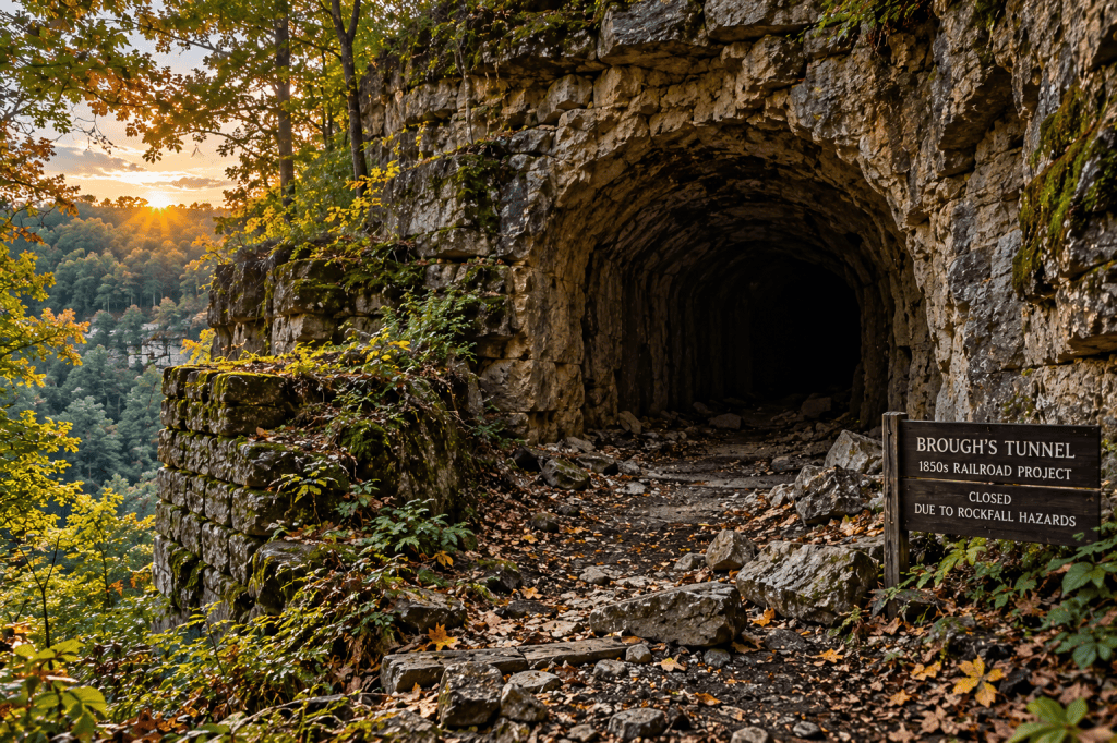
Brough’s Tunnel remains from an ambitious 1850s railroad project through Clifty Canyon. The tunnel is currently closed because of rockfall hazards.
The tunnel was never completed to dimensions that would have allowed trains to use it.
Today it serves another purpose entirely—as habitat for bats and other wildlife.
As of 2026, Brough’s Tunnel is closed indefinitely because of rockfall hazards, although visitors can still experience the surrounding trails and railroad remnants.
The unfinished railroad is a physical reminder of just how difficult Madison’s geography could be.
The city had the Ohio River at its front door.
But getting out of the valley was another matter entirely.
Eventually, another transportation revolution would reshape Madison again.
This one wouldn’t arrive on rails.
It would arrive on four wheels.
America Took to the Road
During the 20th century, Americans changed the way they traveled.
The automobile offered something the steamboat and railroad never could.
The ability to choose your own road.
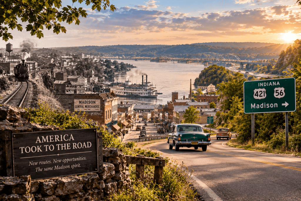
As automobiles and new highways transformed American travel, Madison’s role as a transportation gateway changed—and the historic river town began finding a different road forward.
Highways spread across the country. Cars replaced many passenger trains. Trucks carried freight that once moved by rail and river.
The fastest routes through the Midwest no longer needed to follow the transportation patterns that had created Madison.
For a city that had once prospered because people and merchandise naturally flowed through it, that could have been another devastating change.
But something different began happening.
People started recognizing the value of what Madison had retained.
The old buildings were still there.
So were the riverfront, the steep streets, the historic homes and the compact downtown that had developed long before anyone imagined an interstate highway.
Preservation became part of Madison’s future.
Historic buildings were restored and reused.
Old storefronts found new businesses.
Homes built during Madison’s prosperous river years became pieces of a much larger historic landscape.
And the Ohio River—once the highway that carried Madison’s economy—became part of the experience drawing people back.
Madison was no longer competing to become the transportation gateway it had once been.
It was becoming something else.
A destination.
People who once might have passed through Madison on their way somewhere else were now traveling there specifically to find it.
And once they arrived, they discovered that the town’s story wasn’t finished.
The Town Found Another Way Forward
Madison never became the giant Midwestern city its early growth might have suggested.
But maybe that isn’t the most interesting part of its story.
The remarkable part is what remained.
Today, people walk downtown streets shaped during Madison’s river-town era.
Historic storefronts hold restaurants, shops and businesses.
Homes built during the city’s prosperous years still line its streets.
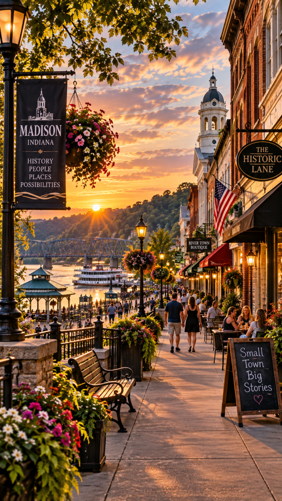
Madison found a new future in the history it managed to preserve, turning its riverfront, architecture and historic downtown into reasons for people to return.
Visitors explore the riverfront, historic neighborhoods and the hills surrounding town.
Community events continue to bring people downtown and to the Ohio River, while nearby Clifty Falls State Park draws visitors into the landscape that influenced Madison’s development from the beginning.
But perhaps Madison’s greatest attraction isn’t any single building, festival or landmark.
It’s the fact that so much of the story still fits together.
The river.
The railroad.
The hills.
The commercial district.
The grand houses.
The working-class neighborhoods.
The African American community whose history forms an important part of Madison’s story.
They’re all pieces of the same place.
Madison found a way to value something that once might have seemed like evidence that the town had been left behind.
Its past.
The transportation routes changed.
The crowds moved elsewhere.
The future Madison’s early residents imagined didn’t unfold exactly as they might have expected.
But more than two centuries after the town began, people are still coming to the banks of the Ohio River.
Only now, many of them aren’t passing through.
They’re coming to see what Madison managed to keep.
Some Towns Are Worth Taking the Long Way
It’s easy to measure a town by what it became.
Madison might be better understood by looking at what it didn’t lose.
The steamboats that once helped drive the river economy are no longer the dominant transportation force they once were.
The railroad no longer determines the city’s future.
Modern highways carry travelers across the region at speeds Madison’s founders could never have imagined.
But along the Ohio River, Madison remains.
The streets still lead toward the water.
The hills still rise behind the rooftops.
Buildings constructed when Madison was one of Indiana’s most important communities still stand beside businesses serving an entirely different generation.
And every one of them carries a piece of the story.
Madison reminds us that being bypassed doesn’t always mean being forgotten.
Sometimes the road moving somewhere else gives a place the chance to hold onto something everyone else eventually realizes was worth keeping.
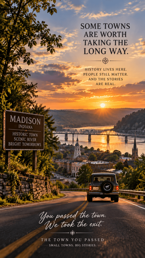
So the next time the fastest route tells you to keep going, consider taking the slower road.
Turn toward the river.
Walk the old streets.
Look beyond the storefronts.
Because sometimes the places that seem like they’re out of the way are exactly where the story has been waiting.
You passed the town. We took the exit.
The Town You Passed
The Story Continues
Madison’s story doesn’t end with its riverboats, railroads and historic streets.
Across the Ohio River was Kentucky—a slave state. On the Indiana side, people and communities became part of a dangerous network helping freedom seekers continue north.
In Part 2, we’ll take a closer look at Madison’s Underground Railroad history, the Georgetown neighborhood, and the people whose courage made this river town part of a much larger American story.
Coming soon: Madison, Indiana — The Road to Freedom.

 The Town You Passed
Leave a comment